 The Merchant's and Mariner's African Guide
 Book contents
- Frontmatter
- Contents
- INTRODUCTION
- Directions for Sailing to the Madeiras
- Directions for Sailing through the Canaries
- On the Winds and Calms peculiar to the Canaries
- Coast of Africa from Cape Spartel to Cape Bogador
- Description of the Coast from Cape Bogador to Cape Verde
- Cape Verde, or Salt Islands
- General Observations
- Description of the Coast from Cape Verde to Cape Roxo
- Cape St. Mary to Roxo
- From Cape Roxo to Sierra Leon, including the Rio Grande, its Shoals, and the Isles de Loss
- Mode of Traffic from Grand Bassa to Cape Palmas
- Description of the Coast from Cape Palmas to Cape Lahou
- On the Trade of Cape Palmas and Cape Lahou
- Description of the Adou or Quaqua Coast, from Cape Lahou to Assinee
- Description of the Coast from Assinee to Cape St. Paul's
- Description of the Mode of Traffic, employed from Cape Lahou to Cape St Paul's
- Description of the Coast from Cape St. Paul's to Cape Formoso, constituting what is called the Bight of Benin
- Mode of Barter at Benin
- Mode of Barter at Coast from Cape Formoso to Cameroon's River in the Bight of Biaffra
- Directions for Sailing into Old Callebar
- On the System of the Callebar Trade
- From Callebar to Cameroon's River
- On the Cameroon's Trade
- Description of the Islands in the Bight of Biaffra, namely: Fernandepo, Princes, St. Thomas, and anno Bom
- Description of the Coast from Cameroons to Cape St. John, and from thence to Cape Lopez, including the Rivers Gabon and Danger
- Description of the Coast from Cape Lopez to the Congo
- Description of the Congo
- Description of the Coast from Cape Padron to Loando St. Paul
- Description of the Cape of Good Hope, with its Adjacent Bays
- The Island of St. Helena
- The Island of Ascension
- Of the Passages to and from the Coast of Africa, &c
- On the Homeward Passage
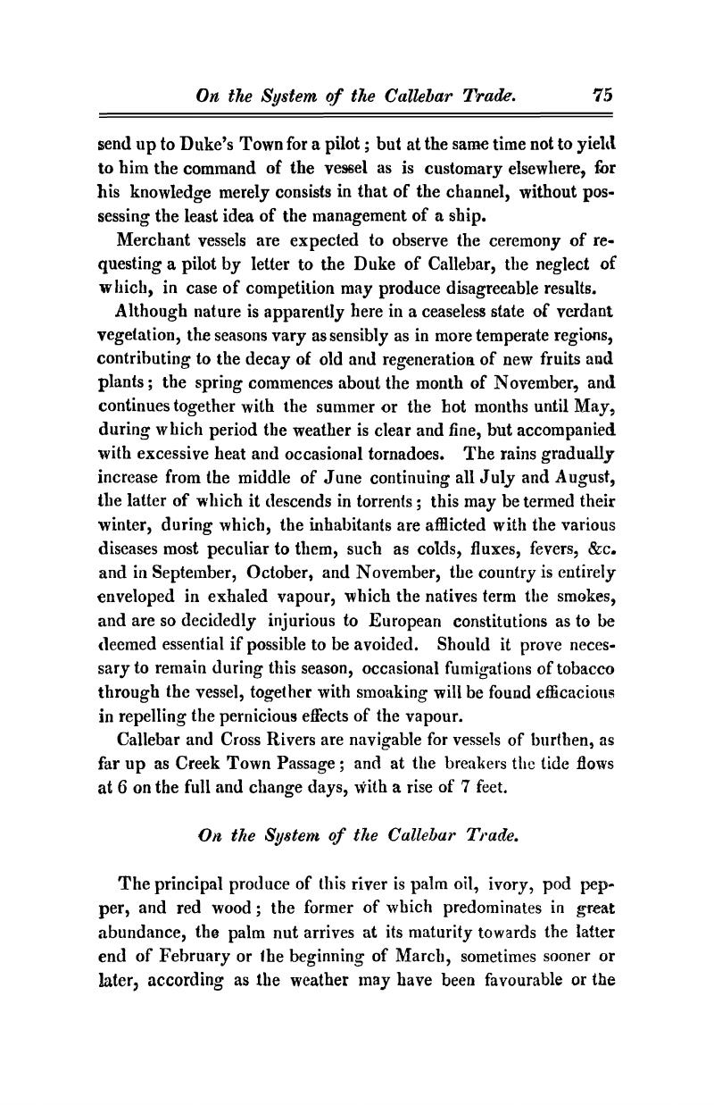
On the System of the Callebar Trade
Published online by Cambridge University Press: 05 July 2014
- Frontmatter
- Contents
- INTRODUCTION
- Directions for Sailing to the Madeiras
- Directions for Sailing through the Canaries
- On the Winds and Calms peculiar to the Canaries
- Coast of Africa from Cape Spartel to Cape Bogador
- Description of the Coast from Cape Bogador to Cape Verde
- Cape Verde, or Salt Islands
- General Observations
- Description of the Coast from Cape Verde to Cape Roxo
- Cape St. Mary to Roxo
- From Cape Roxo to Sierra Leon, including the Rio Grande, its Shoals, and the Isles de Loss
- Mode of Traffic from Grand Bassa to Cape Palmas
- Description of the Coast from Cape Palmas to Cape Lahou
- On the Trade of Cape Palmas and Cape Lahou
- Description of the Adou or Quaqua Coast, from Cape Lahou to Assinee
- Description of the Coast from Assinee to Cape St. Paul's
- Description of the Mode of Traffic, employed from Cape Lahou to Cape St Paul's
- Description of the Coast from Cape St. Paul's to Cape Formoso, constituting what is called the Bight of Benin
- Mode of Barter at Benin
- Mode of Barter at Coast from Cape Formoso to Cameroon's River in the Bight of Biaffra
- Directions for Sailing into Old Callebar
- On the System of the Callebar Trade
- From Callebar to Cameroon's River
- On the Cameroon's Trade
- Description of the Islands in the Bight of Biaffra, namely: Fernandepo, Princes, St. Thomas, and anno Bom
- Description of the Coast from Cameroons to Cape St. John, and from thence to Cape Lopez, including the Rivers Gabon and Danger
- Description of the Coast from Cape Lopez to the Congo
- Description of the Congo
- Description of the Coast from Cape Padron to Loando St. Paul
- Description of the Cape of Good Hope, with its Adjacent Bays
- The Island of St. Helena
- The Island of Ascension
- Of the Passages to and from the Coast of Africa, &c
- On the Homeward Passage
Summary

- Type
- Chapter
- Information
- The Merchant's and Mariner's African GuideContaining an Accurate Description of the Coast, Bays, Harbours, and Adjacent Islands of West Africa, pp. 75 - 82Publisher: Cambridge University PressPrint publication year: 2011First published in: 1822
