Book contents
- Frontmatter
- Contents
- List of figures, maps and tables
- Acknowledgements
- Abbreviations
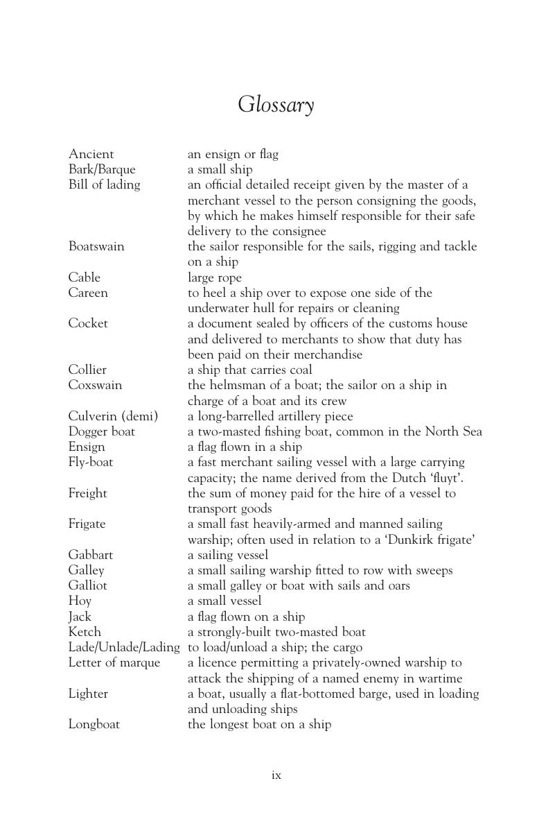
- Glossary
- Map 1 Ireland, 1641–9: principal ports and locations
- Map 2 The British Isles, 1641–9: principal ports and locations
- Map 3 The British Isles and Europe, 1641–9: principal ports and locations
- Introduction
- PART I The War at Sea, 1651–1653
- Part II Navies and the Conduct of the War at Sea
- Appendices
- Bibliography
- General index
- Index of ships
Glossary
Published online by Cambridge University Press: 05 April 2013
- Frontmatter
- Contents
- List of figures, maps and tables
- Acknowledgements
- Abbreviations
- Glossary
- Map 1 Ireland, 1641–9: principal ports and locations
- Map 2 The British Isles, 1641–9: principal ports and locations
- Map 3 The British Isles and Europe, 1641–9: principal ports and locations
- Introduction
- PART I The War at Sea, 1651–1653
- Part II Navies and the Conduct of the War at Sea
- Appendices
- Bibliography
- General index
- Index of ships
Summary

- Type
- Chapter
- Information
- Ireland and the War at Sea, 1641–1653 , pp. ix - xPublisher: Boydell & BrewerPrint publication year: 2012

