Skip to main content Accessibility help
×
Hostname: page-component-586b7cd67f-rcrh6 Total loading time: 0 Render date: 2024-11-22T08:43:58.784Z Has data issue: false hasContentIssue false

References

Published online by Cambridge University Press:  18 April 2024
Catherine Boone
Affiliation:
London School of Economics and Political Science
Get access

Summary

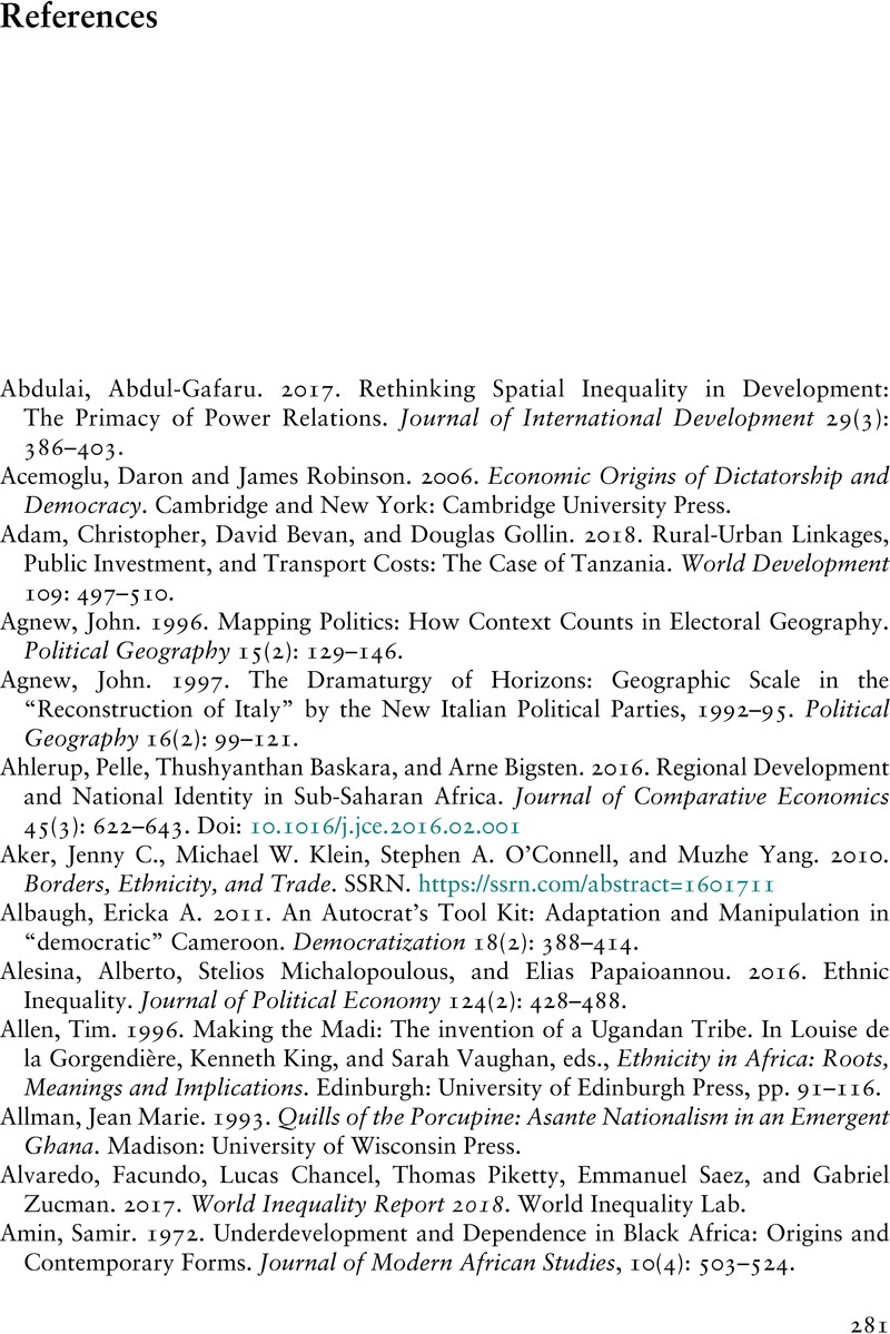
Image of the first page of this content. For PDF version, please use the ‘Save PDF’ preceeding this image.'
Type
Chapter
Information
Inequality and Political Cleavage in Africa
Regionalism by Design
, pp. 281 - 320
Publisher: Cambridge University Press
Print publication year: 2024

Access options

Get access to the full version of this content by using one of the access options below. (Log in options will check for institutional or personal access. Content may require purchase if you do not have access.)

References

Primary Sources

Ady, Peter H., and Hazlewood, Arthur. 1965. Oxford Regional Atlas of Africa. Oxford: Clarendon Press.Google Scholar
Davies, H. R. J. 1973. Tropical Africa: An Atlas for Rural Development. Cardiff.Google Scholar
Atlas de Côte d’Ivoire. Ivory Coast. Ministère du Plan.; O.R.S.T.O.M. (Agency: France); Université d’Abidjan. Institut de géographie tropicale.Google Scholar
Iloeje, Nwadilibe P. 1972. A New Geography of West Africa. London: Longman.Google Scholar
UNFAO [Juan Papadakis]. 1966. Crop ecologic survey in West Africa: Liberia, Ivory Coast, Ghana, Togo, Dahomey, Nigeria. Rome: UNFAO.Google Scholar
Atlas of the Gold Coast. Survey Department. Accra: Survey Department 1949 5th ed.Google Scholar
Ghana National Atlas Project. Accra, Survey Department. 1976.Google Scholar
Iloeje, Nwadilibe P. 1972. A New Geography of West Africa. London: Longman.Google Scholar
Ady, Peter H. and Hazlewood, Arthur. 1965. Oxford regional economic atlas of Africa.Google Scholar
Ady, Peter H. and Hazlewood, Arthur. 1970. National Atlas of Kenya.Google Scholar
The Atlas of Kenya. Nairobi: The Survey of Kenya, 1959.Google Scholar
The National Atlas of Malaŵi, National Atlas Coordinating Committee (Malawi). 1983. Malawi Department of Surveys. Lilongwe : National Atlas Coordinating Committee, for “Agricultural Economy During the Colonial Period, 1890–1964.”Google Scholar
Fraym Report, “Insights into the Current Tobacco Farming Landscape for Malawi,” January 2019, Report for Tobacco Areas, c. 2015.Google Scholar
Iloeje, Nwadilibe P. 1972. A New Geography of West Africa. London: Longman.Google Scholar
Traoré, Mamadou, Monnier, Yves, and Laclavère, Georges. 1980. Atlas du Mali. Paris: Éditions Jeune Afrique.Google Scholar
Ady, Peter A. and Hazelwood, Arthur. 1965. Oxford Regional Economic Atlas of Africa. Oxford: Clarendon Press.Google Scholar
Davies, H. R. J. [Harold Richard John]. 1973. Tropical Africa: An Atlas for Rural Development. Cardiff: University of Wales Press.Google Scholar
Iloeje, Nwadilibe P. 1972. A New Geography of West Africa. London: Longman.Google Scholar
Christopher, Anthony John. 2000. Atlas of a Changing South Africa. Second Edition. London: Routledge.Google Scholar
Waldner, Francois, Hanse, Matthew, and Potapov, Peter V.. 2017. National-scale Cropland Mapping Based on Spectral-Temporal Features and Outdated Land Cover Information. August 2017. PLoS ONE 12(8): e0181911. https://doi.org/10.1371/journal.pone.0181911. Downloaded from ResearchGate, 15 March 2021.CrossRefGoogle ScholarPubMed
Zietsman, H. L. and Van Der Merwe, Izak J.. 1981. Economic Atlas of South Africa. Stellenbosch: University of Stellenbosch.Google Scholar
Atlas of the Tanganika Territory. 1942. Survey Division, Dept. of Lands and Mines, Dar es Salaam. Government Press, 1942.Google Scholar
Atlas of East Africa: Tanganika, Third Edition. 1956. Survey Division, Department and Lands and Surveys, Dar es Salaam.Google Scholar
Atlas of Tanzania, Survey and Mapping Division, Ministry of Lands, Settlement, and Water Development, Dar es Salaam, Tanzania. 1967.Google Scholar
Republic of Tanzania. Atlas of Tanzania. Tanzania. 1976. Wizara ya Ardhi, Nyumba na Maendeleo Mijini. Dar-es-Salaam: Surveys and Mapping Division, Ministry of Lands, Housing and Urban Development (based on 1971 data).Google Scholar
Atlas of Uganda. 1967. Uganda Department of Lands and Surveys, 2nd edition (data from 1962/63). Entebbe.Google Scholar
O’Connor, A. M. 1965. Railways and Development in Uganda. Makerere/ East African Institute of Social Research. East African Series 18. Nairobi: Oxford University Press.Google Scholar
Borland, Kim, Naizghi, Almaz, and Longabaugh, Steve. 2009. Mapping Zambian Regions of Staple Food Net Consumption, Geo 425: GIS Project, 17 April 2009 (with the Food Security Group, Department of Food, Agriculture, and Resource Economics, Michigan State University).Google Scholar
Davies, Hywel D. 1971. Zambia in Maps. London: University of London Press.Google Scholar
United States Department of Agriculture (USDA), Foreign Agricultural Service (FAS). 2014. Zambia Livelihoods 2014. Famine Early Warning Service (FEWS), Final Report. Washington, DC: USDA.Google Scholar
Rhodesia and Nyasaland, Federal Department of Topographic Surveys. 1962. Agricultural Production Map of the Federation of Rhodesia and Nyasaland. Salisbury, Federal Government Printer.Google Scholar
Chemura, Abel. 2013. Assessing the impact of climate change on the suitability of rain-fed flue-cured tobacco production in Zimbabwe. First climate science symposium of Zimbabwe, UNDP, UNOCA, Cresta Lodge, Harare, 12 June 2013.Google Scholar
Mhiribidi, Delight et al., 2018. Optimal Water Resource Allocation Modelling in the Lowveld of Zimbabwe. OpenAccess PIAHS 378: 6772.Google Scholar
Zimbabwe, Central Statistical Office, Cartography Section. 1989. Zimbabwe in Maps: A Census Atlas. Harare, Zimbabwe: Central Statistical Office.Google Scholar

Secondary Sources

Ady, Peter H., and Hazlewood, Arthur. 1965. Oxford Regional Atlas of Africa. Oxford: Clarendon Press.Google Scholar
Davies, H. R. J. 1973. Tropical Africa: An Atlas for Rural Development. Cardiff.Google Scholar
Atlas de Côte d’Ivoire. Ivory Coast. Ministère du Plan.; O.R.S.T.O.M. (Agency: France); Université d’Abidjan. Institut de géographie tropicale.Google Scholar
Iloeje, Nwadilibe P. 1972. A New Geography of West Africa. London: Longman.Google Scholar
UNFAO [Juan Papadakis]. 1966. Crop ecologic survey in West Africa: Liberia, Ivory Coast, Ghana, Togo, Dahomey, Nigeria. Rome: UNFAO.Google Scholar
Atlas of the Gold Coast. Survey Department. Accra: Survey Department 1949 5th ed.Google Scholar
Ghana National Atlas Project. Accra, Survey Department. 1976.Google Scholar
Iloeje, Nwadilibe P. 1972. A New Geography of West Africa. London: Longman.Google Scholar
Ady, Peter H. and Hazlewood, Arthur. 1965. Oxford regional economic atlas of Africa.Google Scholar
Ady, Peter H. and Hazlewood, Arthur. 1970. National Atlas of Kenya.Google Scholar
The Atlas of Kenya. Nairobi: The Survey of Kenya, 1959.Google Scholar
The National Atlas of Malaŵi, National Atlas Coordinating Committee (Malawi). 1983. Malawi Department of Surveys. Lilongwe : National Atlas Coordinating Committee, for “Agricultural Economy During the Colonial Period, 1890–1964.”Google Scholar
Fraym Report, “Insights into the Current Tobacco Farming Landscape for Malawi,” January 2019, Report for Tobacco Areas, c. 2015.Google Scholar
Iloeje, Nwadilibe P. 1972. A New Geography of West Africa. London: Longman.Google Scholar
Traoré, Mamadou, Monnier, Yves, and Laclavère, Georges. 1980. Atlas du Mali. Paris: Éditions Jeune Afrique.Google Scholar
Ady, Peter A. and Hazelwood, Arthur. 1965. Oxford Regional Economic Atlas of Africa. Oxford: Clarendon Press.Google Scholar
Davies, H. R. J. [Harold Richard John]. 1973. Tropical Africa: An Atlas for Rural Development. Cardiff: University of Wales Press.Google Scholar
Iloeje, Nwadilibe P. 1972. A New Geography of West Africa. London: Longman.Google Scholar
Christopher, Anthony John. 2000. Atlas of a Changing South Africa. Second Edition. London: Routledge.Google Scholar
Waldner, Francois, Hanse, Matthew, and Potapov, Peter V.. 2017. National-scale Cropland Mapping Based on Spectral-Temporal Features and Outdated Land Cover Information. August 2017. PLoS ONE 12(8): e0181911. https://doi.org/10.1371/journal.pone.0181911. Downloaded from ResearchGate, 15 March 2021.CrossRefGoogle ScholarPubMed
Zietsman, H. L. and Van Der Merwe, Izak J.. 1981. Economic Atlas of South Africa. Stellenbosch: University of Stellenbosch.Google Scholar
Atlas of the Tanganika Territory. 1942. Survey Division, Dept. of Lands and Mines, Dar es Salaam. Government Press, 1942.Google Scholar
Atlas of East Africa: Tanganika, Third Edition. 1956. Survey Division, Department and Lands and Surveys, Dar es Salaam.Google Scholar
Atlas of Tanzania, Survey and Mapping Division, Ministry of Lands, Settlement, and Water Development, Dar es Salaam, Tanzania. 1967.Google Scholar
Republic of Tanzania. Atlas of Tanzania. Tanzania. 1976. Wizara ya Ardhi, Nyumba na Maendeleo Mijini. Dar-es-Salaam: Surveys and Mapping Division, Ministry of Lands, Housing and Urban Development (based on 1971 data).Google Scholar
Atlas of Uganda. 1967. Uganda Department of Lands and Surveys, 2nd edition (data from 1962/63). Entebbe.Google Scholar
O’Connor, A. M. 1965. Railways and Development in Uganda. Makerere/ East African Institute of Social Research. East African Series 18. Nairobi: Oxford University Press.Google Scholar
Borland, Kim, Naizghi, Almaz, and Longabaugh, Steve. 2009. Mapping Zambian Regions of Staple Food Net Consumption, Geo 425: GIS Project, 17 April 2009 (with the Food Security Group, Department of Food, Agriculture, and Resource Economics, Michigan State University).Google Scholar
Davies, Hywel D. 1971. Zambia in Maps. London: University of London Press.Google Scholar
United States Department of Agriculture (USDA), Foreign Agricultural Service (FAS). 2014. Zambia Livelihoods 2014. Famine Early Warning Service (FEWS), Final Report. Washington, DC: USDA.Google Scholar
Rhodesia and Nyasaland, Federal Department of Topographic Surveys. 1962. Agricultural Production Map of the Federation of Rhodesia and Nyasaland. Salisbury, Federal Government Printer.Google Scholar
Chemura, Abel. 2013. Assessing the impact of climate change on the suitability of rain-fed flue-cured tobacco production in Zimbabwe. First climate science symposium of Zimbabwe, UNDP, UNOCA, Cresta Lodge, Harare, 12 June 2013.Google Scholar
Mhiribidi, Delight et al., 2018. Optimal Water Resource Allocation Modelling in the Lowveld of Zimbabwe. OpenAccess PIAHS 378: 6772.Google Scholar
Zimbabwe, Central Statistical Office, Cartography Section. 1989. Zimbabwe in Maps: A Census Atlas. Harare, Zimbabwe: Central Statistical Office.Google Scholar

Save book to Kindle

To save this book to your Kindle, first ensure [email protected] is added to your Approved Personal Document E-mail List under your Personal Document Settings on the Manage Your Content and Devices page of your Amazon account. Then enter the ‘name’ part of your Kindle email address below. Find out more about saving to your Kindle.

Note you can select to save to either the @free.kindle.com or @kindle.com variations. ‘@free.kindle.com’ emails are free but can only be saved to your device when it is connected to wi-fi. ‘@kindle.com’ emails can be delivered even when you are not connected to wi-fi, but note that service fees apply.

Find out more about the Kindle Personal Document Service.

  • References
  • Catherine Boone, London School of Economics and Political Science
  • Book: Inequality and Political Cleavage in Africa
  • Online publication: 18 April 2024
  • Chapter DOI: https://doi.org/10.1017/9781009441667.016
Available formats
×

Save book to Dropbox

To save content items to your account, please confirm that you agree to abide by our usage policies. If this is the first time you use this feature, you will be asked to authorise Cambridge Core to connect with your account. Find out more about saving content to Dropbox.

  • References
  • Catherine Boone, London School of Economics and Political Science
  • Book: Inequality and Political Cleavage in Africa
  • Online publication: 18 April 2024
  • Chapter DOI: https://doi.org/10.1017/9781009441667.016
Available formats
×

Save book to Google Drive

To save content items to your account, please confirm that you agree to abide by our usage policies. If this is the first time you use this feature, you will be asked to authorise Cambridge Core to connect with your account. Find out more about saving content to Google Drive.

  • References
  • Catherine Boone, London School of Economics and Political Science
  • Book: Inequality and Political Cleavage in Africa
  • Online publication: 18 April 2024
  • Chapter DOI: https://doi.org/10.1017/9781009441667.016
Available formats
×