 Historical Account of the Navigable Rivers, Canals, and Railways, of Great Britain
 Summary

- Type
- Chapter
- Information
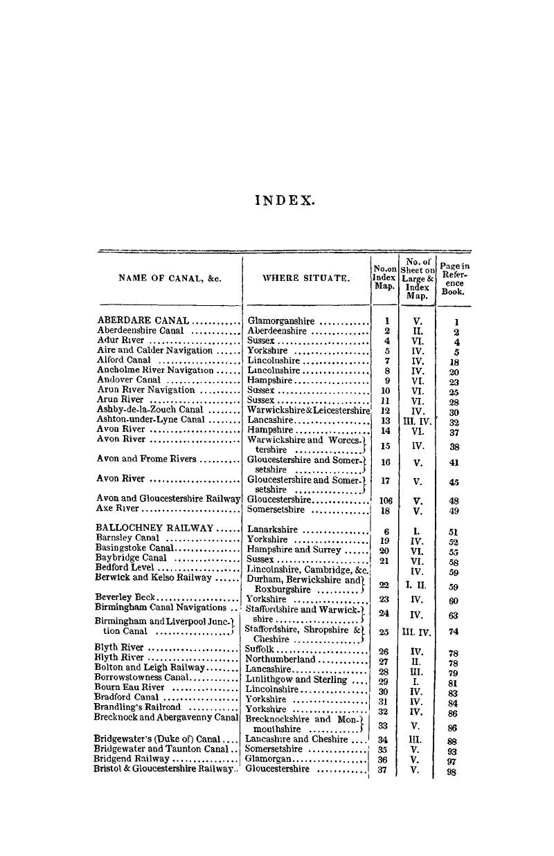
- Historical Account of the Navigable Rivers, Canals, and Railways, of Great BritainAs a Reference to Nichols, Priestley and Walker's New Map of Inland Navigation, Derived from Original and Parliamentary Documents in the Possession of Joseph Priestley, Esq., pp. 705 - 712Publisher: Cambridge University PressPrint publication year: 2014First published in: 1831
