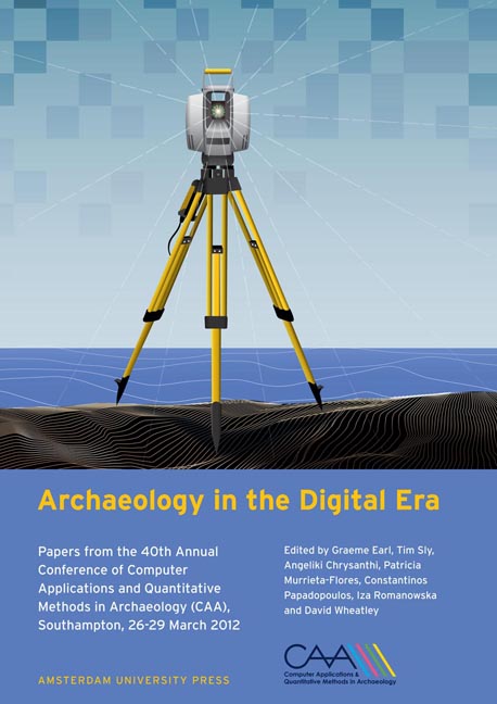
 Archaeology in the Digital Era
 Published online by Cambridge University Press: 16 February 2021
Abstract:
The iSpace metrology-grade tracking system from Nikon Metrology can also be used as a digital 3D drawing tool. A new archaeology-specific version iSpace was released in April 2011 at CAA-Beijing, soon after which, Studiebureau Archeologie, Belgium, became the first archaeology company to use it for recording excavations. A brief explanation of how iSpace works is followed by a report on the combined experiences of the authors with the system. Specifically we will present the results of 2 sets of trials which pitted iSpace against other forms of drawing of excavations, namely hand drawing and drawing with Robotic Total Station. A more general discussion will follow on various aspects of the iSpace system and its potential impact on commercial archaeology, based on experiences of using the system in over a dozen excavations.
Keywords:
Digital, Drawing, Commercial
Introduction
In the very competitive field of commercial archaeology excavations are conducted within pressing time frames. Any new method, technique or technology which significantly reduces the total time of a project should have a considerable impact upon commercial archaeology.
For over a decade a number of researchers have investigated ways to improve the speed and quality of excavation recording using various 3D data acquisition methods; such as photogrammetry (Barcelo, et al., 2002), orthocorrection of photographs (Reali & Zoppi, 2001), tracing from photomosaics (Avern, 2001a), using total station points for drawings (Schaich, 2002), 3D Modeling (Avern, 2001b) and laser scanning (Doneus & Neubauer, 2004). For various reasons none of these methods have become mainstream techniques. The technology considered in this paper differs from these in that it does not produce 3D surface models but, rather, 3D vector drawings, that is, the typical form of recording currently employed on most excavations, with an added dimension.
One of us (GA) recently investigated many tracking systems for their potential as a 3D drawing tool on archaeological excavations. The premise for this use is to track the position of a hand-held probe which is simply used as a “digital pencil” to trace the borders of archaeological features. Potentially, drawings could be made much faster, while delivering more accurate drawings than could be achieved by hand or total station, and significantly reducing post-processing times.
To save this book to your Kindle, first ensure [email protected] is added to your Approved Personal Document E-mail List under your Personal Document Settings on the Manage Your Content and Devices page of your Amazon account. Then enter the ‘name’ part of your Kindle email address below. Find out more about saving to your Kindle.
Note you can select to save to either the @free.kindle.com or @kindle.com variations. ‘@free.kindle.com’ emails are free but can only be saved to your device when it is connected to wi-fi. ‘@kindle.com’ emails can be delivered even when you are not connected to wi-fi, but note that service fees apply.
Find out more about the Kindle Personal Document Service.
To save content items to your account, please confirm that you agree to abide by our usage policies. If this is the first time you use this feature, you will be asked to authorise Cambridge Core to connect with your account. Find out more about saving content to Dropbox.
To save content items to your account, please confirm that you agree to abide by our usage policies. If this is the first time you use this feature, you will be asked to authorise Cambridge Core to connect with your account. Find out more about saving content to Google Drive.