No CrossRef data available.
Article contents
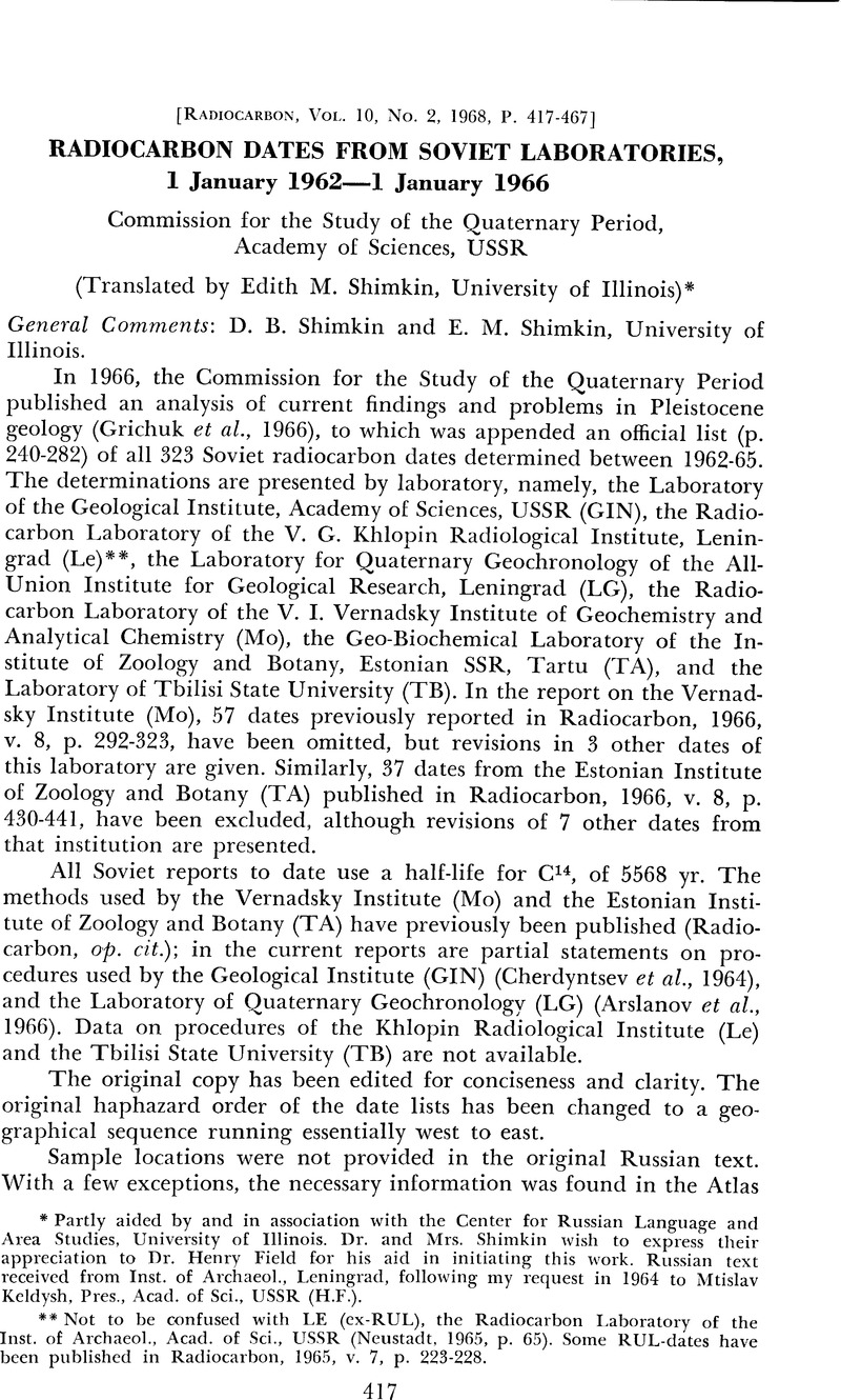
Radiocarbon Dates from Soviet Laboratories, 1 January 1962—1 January 1966 Commission for the Study of the Quaternary Period, Academy of Sciences, USSR
Published online by Cambridge University Press: 18 July 2016
Abstract
An abstract is not available for this content so a preview has been provided. As you have access to this content, a full PDF is available via the ‘Save PDF’ action button.

- Type
- Other
- Information
- Copyright
- Copyright © The American Journal of Science
References
Atlas SSSR (Atlas of the USSR), 1955: Moscow, Glavnoye upravleniye geodeziyi i kartografiyi, MVD, SSSR (Main administration of geodesy and cartography, MVD, USSR).Google Scholar
Glavnoye upravleniye geodeziyi i kartografiyi Ministerstva Geologiyi SSSR: Yaroslavskaya Oblast'. Fizicheskaya uchebnaya karta (Main administration of geodesy and cartography of the Ministry of Geology, USSR: Yaroslavl' Oblast. Instructional map for physical geography), 1:600,000, 1966: Moscow.Google Scholar
Glavnoye upravleniye geodeziyi i kartografiyi, MVD, SSSR: Magadanskaya Oblast' (Main administration of geodesy and cartography, MVD, USSR: Magadan Oblast), 1:2,000,000, 1957: Moscow.Google Scholar
Glavnoye upravleniye geodeziyi i kartografiyi, Yakutskava ASSR (Main administration of geodesy and cartography, MVD, USSR: Yakut ASSR), 1:2,000,000, 1958: Moscow.Google Scholar
Tret'yakov, P. N., and Mongayt, A. L., (eds.), 1956, p. 23, map and key to Kostenki Sites.Google Scholar
U. S. Army map Service: USSR, 1:4,000,000, 1957, 1958, 1961: Washington, D. C. (2nd ed.).Google Scholar


