Published online by Cambridge University Press: 27 May 2014
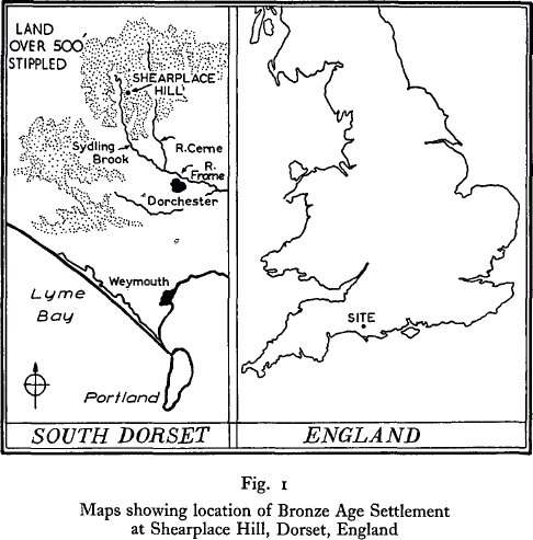
This report describes the excavation of a small complex of earthworks on the Dorset chalk upland (fig. 1) associated with fields and droveways. Several banked and ditched enclosures were present, the main one of which contained two sub-circular houses. The lay-out of these houses may be ascribed largely to the Deverel-Rimbury occupation of the site, but the main earthworks of the farmstead are dated on the evidence of the pottery to the early Middle Bronze Age, if not to the Wessex Bronze Age. From the plans of similar settlements with fields and droveways, then thought to belong to the Late Bronze Age (but now assigned to the Middle Bronze Age), Curwen (1938) deduced the existence of settled cultivation with the two-oxplough. The use of some form of plough during the Bronze Age has since received confirmation from the discovery of marks of cultivation in the fossil soil beneath barrows and other monuments. The placing of the houses in hollows cut into the slope recalls the Itford Hill settlement (Hollyman and Burstow, 1958) and the enclosing ditches, the Cranborne Chase sites mapped by Mrs Piggott (1951). The round houses seem to be the universal type in the Middle Bronze Age of southern England and the farmstead with 2–3 houses is comparable with Thorny Down, Plumpton Plain, Trevisker (St. Eval) and Trewey, to quote only the better known examples. It is uncertain how far we should distinguish these from what appear to be villages with up to 20-30 houses, such as occur on Dartmoor (Radford 1951).
