Published online by Cambridge University Press: 04 April 2017

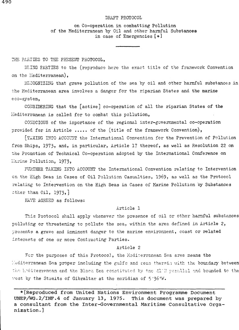
[Reproduced from United Nations Environment Programme Document UNEP/WG.2/INF.4 of January 13, 1975. This document was prepared by a consultant from the Inter-Governmental Maritime Consultative Organization.]
1 In this respect, two delimitations seem to be feasible:
(a) the eastern delimitation of the zones of the draft Neuilly Agreement, that is to say a line passing through the following points: (a) 4000’N - 18° 27’E; (b) 35’00’N.- 18° 27’E; (c) 33°30’N – 25°00’E; (d) 3°30’N 25°09’E.
(b) the 20° East Meridian. This delimitiition in simple and permits the inclusion of the Adriatic sea in tne western basin.