No CrossRef data available.
Published online by Cambridge University Press: 27 February 2017

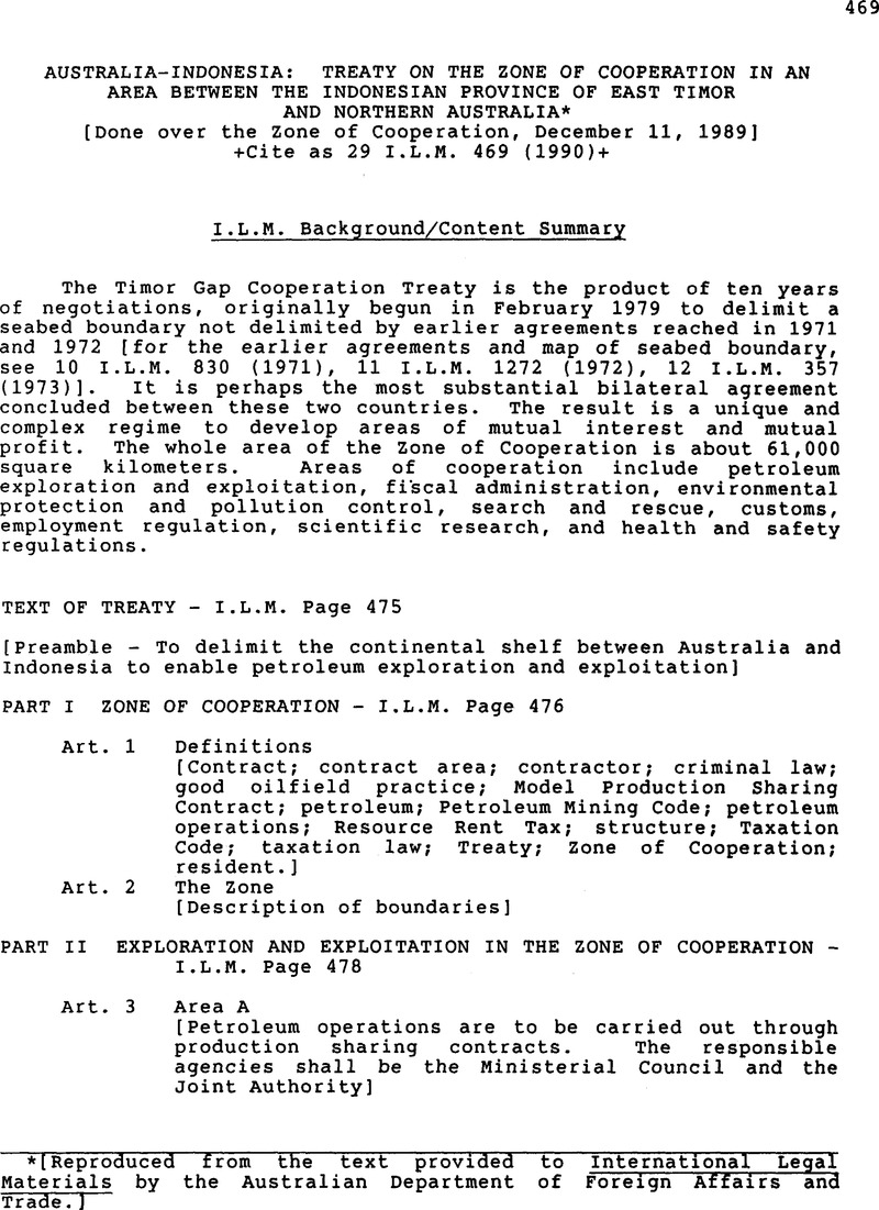
* [Reproduced from the text provided to International Legal Materials by the Australian Department of Foreign Affairs and Trade.]
Where for the purposes of this Treaty it is necessary to determine the position on the surface of the Earth of a point, line or area, that position shall be determined by reference to the Australian Geodetic Datum, that is to say, by reference to a spheroid having its centre at the centre of the Earth and a major (equatorial) radius of 6 378 160 metres and a flattening of 1/296.25 and by reference to the position of the Johnston Geodetic Station in the Northern Territory of Australia. That station shall be taken to be situated at Latitude 25°56'54.5515“ South and at Longitude 133°12'30.0771” East and to have a ground level of 571.2 metres above the spheroid referred to above.