Hostname: page-component-745bb68f8f-cphqk Total loading time: 0 Render date: 2025-01-25T19:21:54.992Z Has data issue: false hasContentIssue false

Joint and Fault Patterns in North-East Tasmania

Published online by Cambridge University Press:  01 May 2009

Brian Marshall
Affiliation:
School of Applied Geology, University of New South Wales, P.O. Box 1, Kensington, New South Wales, Australia.
Rights & Permissions [Opens in a new window]

Abstract

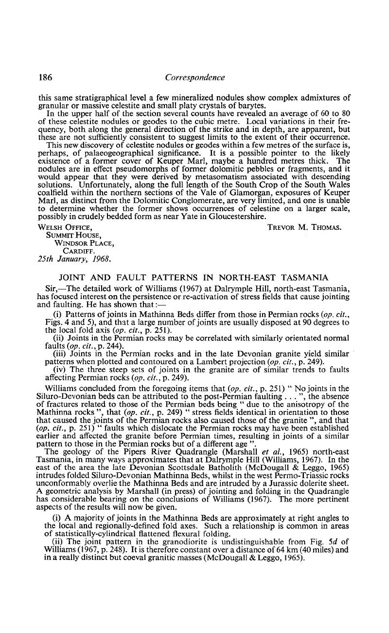
Image of the first page of this content. For PDF version, please use the ‘Save PDF’ preceeding this image.'
Type
Correspondence
Copyright
Copyright © Cambridge University Press 1968

References

REFERENCES

Longman, M. J. 1966. Explanatory Report 1-mile Geol. Map ser., K/55–7–39, Launceston. Geol. Surv. Tasm.Google Scholar
McDougall, I. & Leggo, P. J. 1965. Isotopic age determinations on granitic rocks from Tasmania. J. geol. Soc. Aust., 12, 295332.CrossRefGoogle Scholar
Marshall, B., Barton, C. M., Jennings, D. J. & Naqvi, I. H. 1965. Pipers River Sheet. Geol. Surv. Tasm., 1-mile Geol. Map Ser. 8315N (K55–7–31).Google Scholar
Marshall, B. In press. Explanatory Report 1-mile Geol. Map Ser. K55–7–31., Pipers River. Geol. Surv. Tasm.Google Scholar
Williams, E. 1967. Joint Patterns at Dalrymple Hill, North-east Tasmania. Geol. Mag., 104, 240252.CrossRefGoogle Scholar