No CrossRef data available.
Published online by Cambridge University Press: 29 November 2011

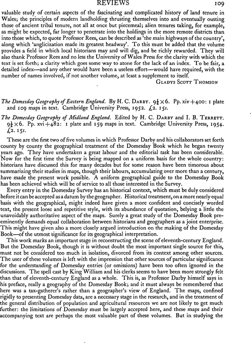
1 See, for instance, Oxoniensia, x (1945), 97–99; xiii (1948), 67–69; xvii-xviii (1952–3), 219–22Google Scholar.
2 Antiquity, xxvii (1953), 167Google Scholar.
3 Eng. Hist. Rev. lxviii (1953), 601–4CrossRefGoogle Scholar.
4 Chron. de Evesham (Rolls Ser., 1863), 81.
5 See, for instance, a map in chapter 11 of Dark Age Britain: Essays presented to E. T. Leeds (1955).
6 Stenton, F. M., Anglo-Saxon England (1943), 524Google Scholar.
7 Norfolk Archaeology, xxx (1952), 287–323Google Scholar.
8 Bateson, Mary, Records of the Borough of Leicester, 1103–1307 (1899Google Scholar), introduction.
9 Compare also Berks. Archaeol. J. 1 (1947), 49 ff., and Scottish Geog. Mag. li (1935), 353–63Google Scholar.