No CrossRef data available.
Article contents
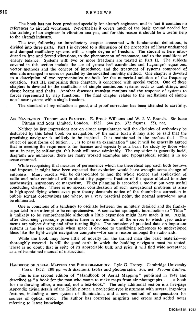
Handbook of Aerial Mapping and Photogrammetry. Lyle G. Trorey. Cambridge University Press. 1952. 180 pp. with diagrams, tables and photographs. 30s. net. Second Edition.
Published online by Cambridge University Press: 28 July 2016
Abstract
An abstract is not available for this content so a preview has been provided. Please use the Get access link above for information on how to access this content.

- Type
- Reviews
- Information
- Copyright
- Copyright © Royal Aeronautical Society 1952


