-
- This book is no longer available to purchase from Cambridge Core
- Publisher:
- Liverpool University Press
- Online publication date:
- November 2019
- Print publication year:
- 2018
- Online ISBN:
- 9781786948656
- Subjects:
- Geography: General Interest, Geography

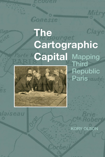
Through official maps, this book looks at how government presentations of Paris and environs change over the course of the Third Republic (1889–1934). Governmental policies, such as the creation of a mandatory national uniform educational system that will eventually include geography, combined with technological advances in the printing industry, to alter the look, exposure, reception, and distribution of government maps. The government initially seemed to privilege an exclusively positive view of the capital city and limited its presentation of it to land inside the walled fortifications. However, as the Republic progressed and Paris grew, technology altered how Parisians used and understood their urban space. Rail and automobiles made moving about the city and environs easier while increased industrialization moved factories and their workers further out into the Seine Department. During this time, maps transitioned from reflecting the past to documenting the present. With the advent of French urbanism after World War I, official mapped views of greater Paris abandoned privileging past achievements and began to mirror actual residential and industrial development as it pushed further out from the city centre. Finally, the government needed to plan for the future of greater Paris and official maps begin to show how the government viewed the direction of its capital city.
 Loading metrics...
* Views captured on Cambridge Core between #date#. This data will be updated every 24 hours.
Usage data cannot currently be displayed.